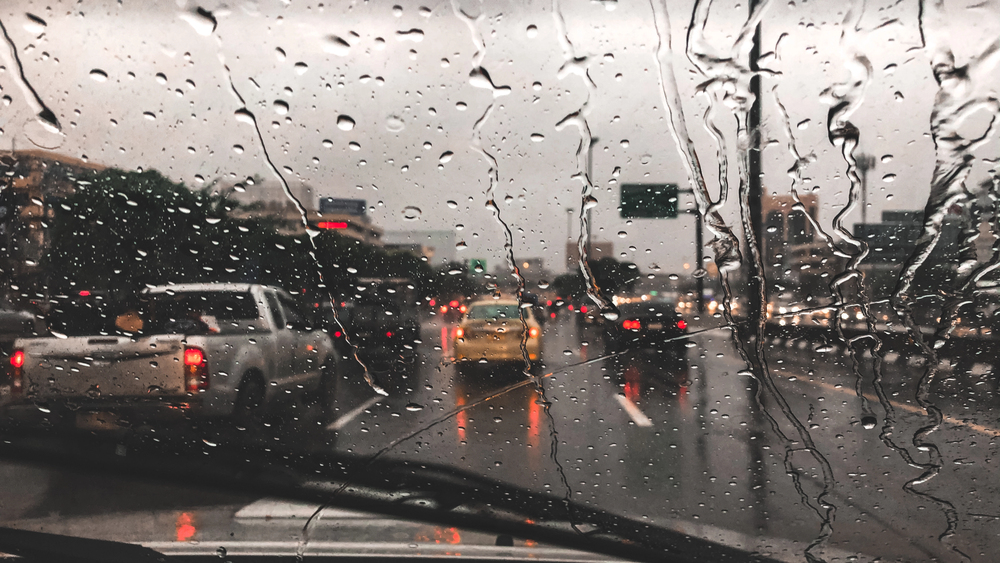
Residents and businesses across the South West region are being urged to stay alert this week as the Met Office highlights a period of wet, breezy and changeable conditions for the area.
What’s happening
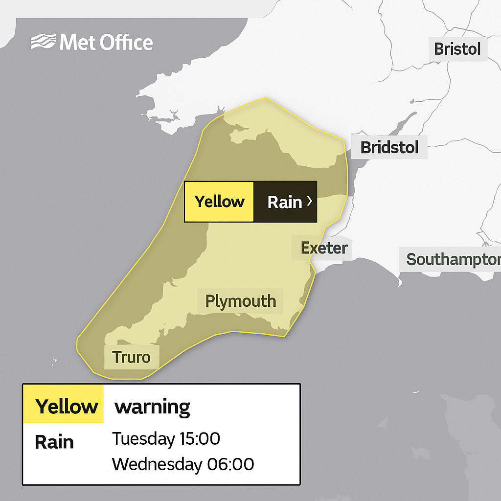
While no specific high-level warning (e.g., red or amber) is currently active for the South West, the Met Office’s regional forecast flags that:
-
Rain will spread into the region, especially across western and coastal areas, with some heavier spells possible.
-
It will remain mild for the time of year, but breezy conditions will continue in exposed coastal and elevated locations.
-
Outlooks suggest the unsettled conditions will persist through mid-week before gradually easing, though the region remains prone to further showers or rain into the second half of the week.
Regional context & implications
For counties across the South West — from Cornwall and Devon through to Somerset and Dorset — the combination of rainfall and wind means:
-
Surface-water risks could rise on local roads, especially where drainage is slower or terrain slopes into valleys.
-
Travel disruption is plausible: spray and slick surfaces may slow journey times for motorists and bus/coach services; smaller local roads may be more affected.
-
For coastal communities, elevated wind and rainfall may impact access routes, footpaths and low-lying properties, especially as ground becomes saturated.
Advice for residents, businesses & tourism operators
Residents should:
-
Monitor local forecasts and alerts (via the Met Office website or mobile apps) because conditions can shift quickly.
-
If you live in a low-lying area, near streams or coastal zones, review any flood-preparedness plans you have (moving vehicles, elevating belongings, keeping access clear).
-
Allow extra travel time if journeying through narrow rural roads or on routes prone to spray/flooding.
Businesses and tourist-sector operators should:
-
Check access and egress routes for guests or visitors — in particular outdoor sites (coastal walks, valley retreats) may need a “plan B” for wet weather.
-
If you’re near rivers, streams or valley sides, ensure drainage and ground-water runoff paths are clear (e.g., remove leaves/blockages) so excess water can clear.
-
For outdoor events or food/beverage services: have contingency for shifting indoors or adjusting schedule if heavy rain arrives.
-
Communicate to guests/visitors in advance about the likelihood of wet conditions, advising appropriate clothing and footwear.
What to look out for this week
-
Wednesday onward could bring the most sustained rainfall, especially in the western/costal fringes of the region.
-
Watch for upland or exposed locations where wind will be stronger and drainage slower — good places to avoid if planning outdoor excursions.
-
Keep an eye on small watercourses and streams: while major river flood-warnings may not be in force, localised flash-run-off risks still exist in hilly terrain.
Final word
South West England is heading into a brief window of mild but unsettled weather. While the risks aren’t currently elevated to the highest alert level, the mix of rain, wind and saturated ground means there is a realistic chance of travel disruption, surface-water ponding, and local inconvenience. Staying informed and having contingency plans will serve residents, businesses and visitors well.
Sources:
-
Met Office regional forecast (South West England): https://weather.metoffice.gov.uk/forecast/regional/sw
-
Met Office UK 5-day weather outlook: https://weather.metoffice.gov.uk/
-
Met Office UK Warnings page: https://weather.metoffice.gov.uk/warnings-and-advice/uk-warnings




More Stories
Thomas Carroll wins Insurance Broker of the Year for South West & Wales at UK Broker Awards 2026
New report reveals 10,800 jobs boost for UK castings and forgings from offshore wind push
3 in 4 Women Sleep Worse the Week Before Their Period, Withings Analysis of 469,000 Menstrual Cycles Finds